A site walk is a chance to gather evidence before making design promises. Bring a map, take photographs from repeatable points and mark observations rather than conclusions. “Water visible after rain” is more useful than “bad drainage”; “steep cross-slope below proposed tee” is more actionable than “difficult hill.” The distinction keeps discussion grounded and helps a landowner, designer or land manager decide what needs further investigation.
Terrain rarely acts alone. Soil type, vegetation, past disturbance, drainage infrastructure and visitor traffic combine to produce actual conditions. An apparently dry ridge can direct runoff into a low path; a gentle grade with compacted soil can shed water poorly; a shaded hollow may remain wet long after nearby ground dries. Spend time looking at the connections between landforms instead of treating each hole as an isolated patch.
Read shape before measuring precision
Begin by identifying ridges, hollows, benches, shoulders and abrupt changes in grade. These broad forms affect route options and potential play. A ridge may offer a dry travel line with wide views, while a hollow might collect water or hide movement. A bench can provide a natural place for a tee or walking transition, but its edges may be steep. Mark the direction of slope as well as its apparent steepness; cross-slope can influence footing and surface water differently from a direct uphill climb.
Digital maps and contour data can help orient a visit, but they do not replace observation. Small features may not appear at a useful scale, and surface conditions change. Walk proposed lines, look for erosion, exposed roots, ponding, sediment deposits and changes in plant growth. If the design depends on construction near a steep or unstable area, seek the appropriate site-specific technical advice before fixing the layout.
Follow water from source to outlet
Water has a path even when the weather is dry. Read the ground for channels, flattened vegetation, washed soil and debris lines. Ask site managers where water pools after heavy rain and whether drainage infrastructure is present or planned. Track where runoff enters, slows and leaves the property. A tee pad, compacted path or cleared fairway can change that flow, so consider the effect of surface changes across a wider catchment rather than only at the point of construction.
Where practical, keep heavily used routes out of persistent wet ground. Repeated foot traffic can compact soil and widen muddy detours, while a poorly placed path can concentrate runoff and create erosion. A longer route on firmer ground may prove more comfortable and need less repair. If avoiding a wet area is not possible, document the condition and investigate suitable path design and drainage with qualified local input. Do not assume gravel, fill or a culvert is automatically appropriate.
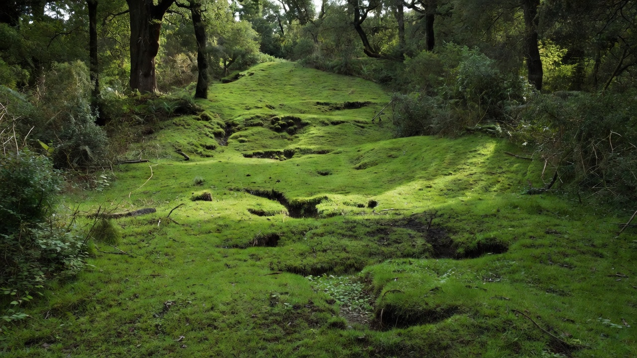
Design with slope and footing in mind
A downhill throw can add excitement, but it also changes how a disc lands and how players move. A slope can encourage rollaways, amplify small placement errors or send a disc toward a boundary. Consider whether the likely landing area offers safe footing for a player retrieving a disc. Observe loose soil, roots, rocks and seasonal leaf cover. A route that seems manageable during a dry site visit may be slippery in wet weather.
Uphill travel creates its own burden. A short, steep transition repeated several times may feel more demanding than a longer contouring path. Consider the complete loop, not only the grade of an individual hole. Where the site has significant elevation change, place pauses and access points thoughtfully, and make sure people can understand the route before committing to it. Accessibility and inclusive use require site-specific evaluation; do not infer compliance from a map or an informal slope estimate.
A contour line is a clue. The walk tells you what the clue means.Terrain fieldnote
Notice vegetation as a record of conditions
Plant communities can suggest moisture, disturbance and shade, but they are not a substitute for ecological advice. Look for transitions: a change in plant density may align with a drainage path or a soil boundary. Mature trees can shape flight corridors and provide shade, yet root zones may be vulnerable to compaction and construction. Protecting a tree means considering the space around it, how people will circulate and where maintenance equipment travels.
Before clearing, pruning or building, confirm who manages the land and which permissions are needed. Identify sensitive habitat, nesting periods and locally protected features with appropriate professionals. A route can often be adjusted to preserve valuable vegetation while still creating a playable line. If vegetation management is proposed, state the purpose, scope and expected upkeep rather than leaving future maintenance as an assumption.
Make a useful observation list
- Where does water collect, cross the site and leave it?
- Which surfaces become soft, slippery or eroded after ordinary rain?
- Where do grade changes influence walking, landing or recovery?
- Which trees, roots and habitat areas need protection or further review?
- What site conditions need seasonal observation or specialist assessment?
Photograph each observation from a consistent direction and add a short caption with date and location. This makes comparisons possible after rain, during leaf-off season or after temporary stakes have been placed. Keep a distinction between observed facts, questions and proposed responses. That simple discipline reduces the risk of a sketch quietly turning into an unsupported engineering or environmental conclusion.
Keep construction modest and maintainable
Every new hard surface changes how people and water move. Tees, paths, staging areas and maintenance access should be considered as a connected set. Choose alignments that avoid unnecessary earthworks and protect existing drainage patterns where possible. Look at where excavated material would go, how construction equipment can reach the work and what restoration will be needed afterward. A design that minimizes disturbance can also be simpler to maintain, but it must still provide durable, safe use appropriate to the site.
Maintenance teams should be part of the conversation before decisions are final. Ask how often a path needs clearing, whether mowing equipment can reach the fairways and what happens after a storm or fallen tree. A fragile design can shift its costs into repeated closures, informal shortcuts and repair work. Record who will inspect and maintain features, and identify which seasonal conditions should trigger a review.
Turn observations into choices
A terrain map is useful when it leads to clear design questions. For each proposed tee, target and transition, note the ground condition, slope direction, drainage relationship, vegetation sensitivity and anticipated maintenance. Then compare alternatives. Could the tee move to firmer ground? Could the path follow a contour? Would a different basket position reduce a rollaway concern or avoid a wet hollow? The goal is not to engineer every natural feature away. It is to choose deliberately where the course works with the land and where a change is genuinely necessary.
Walk the draft with the people responsible for the property. Their experience can reveal seasonal flooding, maintenance constraints and informal uses that a short visit misses. Revisit uncertain areas rather than filling gaps with optimistic assumptions. Where technical, ecological or regulatory questions arise, bring in qualified local professionals. The designer contributes judgement about play and layout; that judgement is strongest when it respects the limits of what the site walk can verify.